Routeburn hike - May 2026
2026-05-20
Recently my partner and I travelled down to Queenstown and walked the Routeburn great walk. It's a great track, and except for some heavy rain on the last day, I really enjoyed the three days.
I thought I'd write up some quick notes and thoughts about the track. A bit of a focus on things I was looking to know when originally planning the hike.
Fitness and Experience Required
Karen and I prepared for this hike by going for small 2-4 hour hikes every couple weeks over around 3 months. This was enough for us to be ahead of DoCs time estimates for two out of three days. It was however not enough to put us a head of the pack - we were always the last to arrive at the huts. As a result, we got whatever bunks were left. Usually not the best!
Going from Queenstown through to Te Anau this track spends a lot of time going uphill. Probably well over half. You'll want to be walking fit but no need to be a super star.
The Department of Conservation has Routeburn classified as Intermediate during the main season. This seems to be a fairly accurate assessment.
Track Quality / Whats The Track Like?
The track is quite different than what I'm used to in the North Island or even the Abel Tasman track at the top of the South Island. Instead of the typically clay tracks cut into the hills and bush, here the tracks have been cut through stone. This means the tracks are quite uneven, and rocky. Expect a lot of climbing up, down, and balancing on stones.
This has a big impact of walking speed, more so for less experienced hikers. Especially while carrying 8-12kg on your back. This caught us out, but in the end it was ok. Though it got a bit spicey later, clambering over huge rocks while inside a cloud can be scary!
The first day, Queenstown to Routeburn Falls has the best track, it's been heavily maintained by DOC. It's very wide, and has had gravel laid down.
The second day, Routeburn Falls to Lake Machenzie is the hardest. Nearly the entire 6-7 hour day is this stoney difficult track I described above. Distance wise it's actually not too bad, but those rocks and stones really slow you done. The views on this part of the walk are amazing, even when we were above the clouds the views were beautiful.
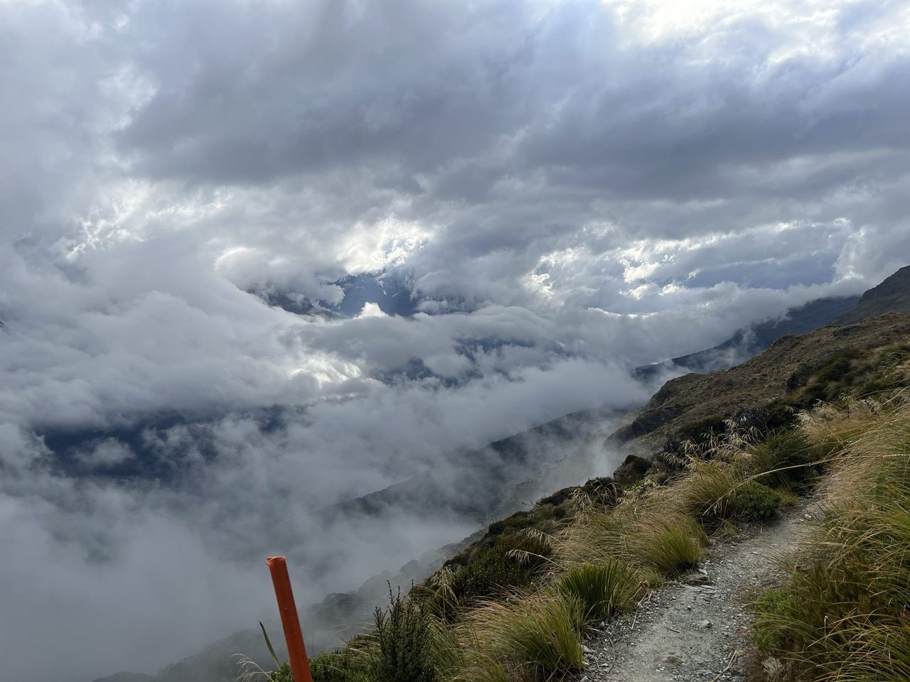
The final day to The Divide starts out much like the second but after an hour or so isn't too bad. If you are hiking fit you'll be out of the worst of the stones in 45 minutes or so. An hour an a half for us. Eventually the track returns to more clay packed / gravel. When we went there was some minor detours but nothing bad. There is also a great waterfall you pass that will get you wet, whether this is a good or bad thing depends on how your day is going.
DOCS time estimates for each day seem to be mostly accurate. We usually came in at the end of those estimates but we also weren't rushing. The second day we were 30 minutes over.
It also turns out that this hike is very runnable if you're a fit trail runner. We passed quite a few on the way, one girl who took a moment to chat to us mentioned she left quite late - 11ish, and was expecting to finish by 6-7pm that evening. This apparantly wasn't a big deal.
Huts vs camping
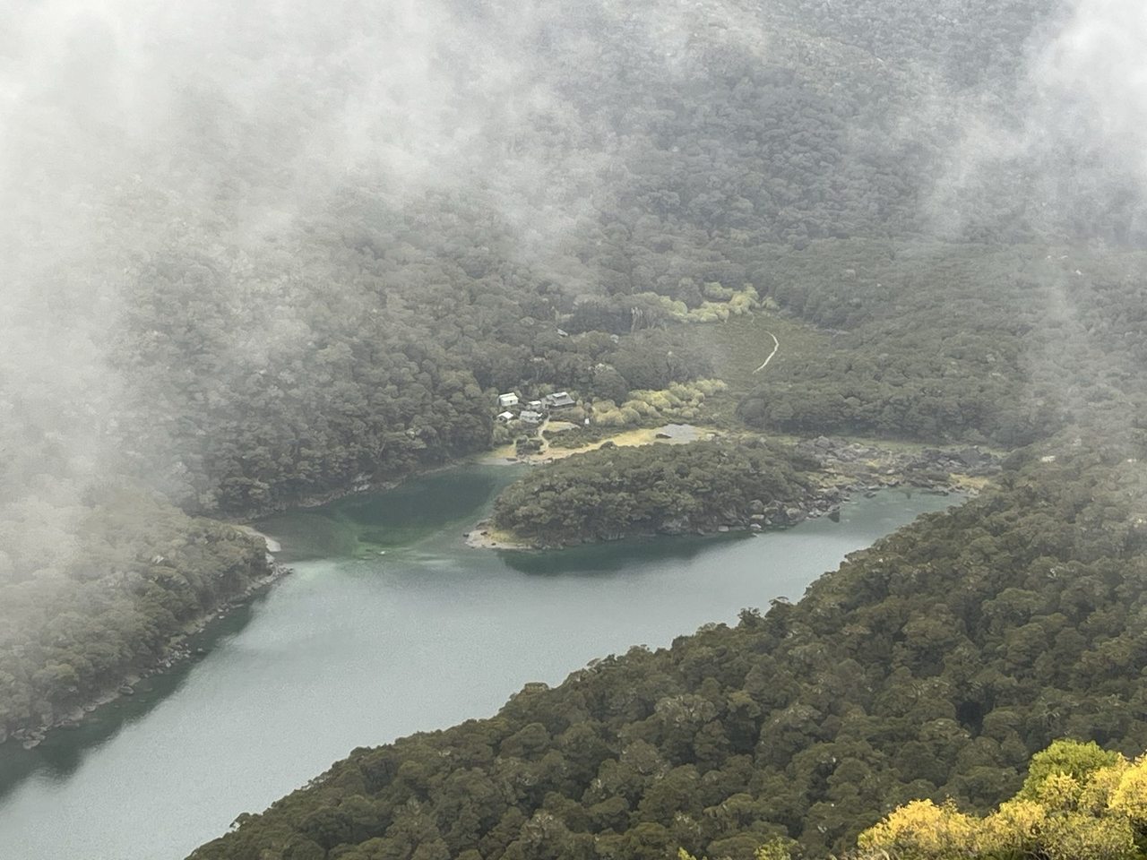
Starting from Queenstown, there are two huts near each other. Routeburn Flats and Routeburn falls. Routeburn Falls is around 2-3 hours further along the track than both Routeburn Flats Hut and the campgrounds.
Due to the difficulty and the length of the second day, you would need to be qutie dedicated to stay at the camp site. That extra 3 hours on top of the 6-7 you already need to be walking on the second day means you could be out there for 9-10 hours.
With the first day already quite short comparatively. 2 1/2 hours or so to get to Routeburn Flats and only another 2-3 to get to Routeburn Falls, there doesn't seem much justification staying at the camp grounds or the lower hut. Except perhaps for a lack of a spots available at the Falls. Even then you'd need to be a keen hiker.
It's worth notiong that the huts see a lot of cancellations if rain is expected. At the Lake Mackenzie hut the campers were allowed to take spots in the huts. Rain was coming, and there were plenty of space after cancellations. Something like 15 people cancelled or no showed.
How are the huts
Routeburn Falls might be the the nicest hut i've ever visited. With the best dormitary layout I've seen so far. Two dorimorties of 24 bunks each, are split into cubicles, each with two bunks. Giving a better sense of privacy and 'your own space'. It also helped muffle snoring.
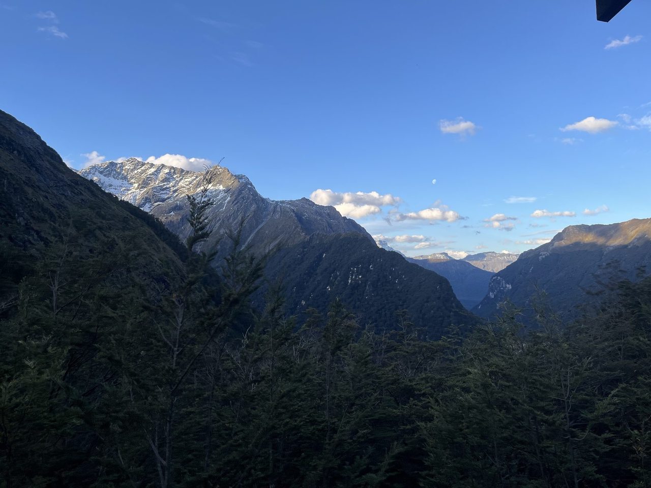
Being perched right on top of a mountain it had amazing views and plenty of light. We were visited by a flock of kea in the morning. The warden also have a great talk the night before. To my surprise it had flushing toilets.
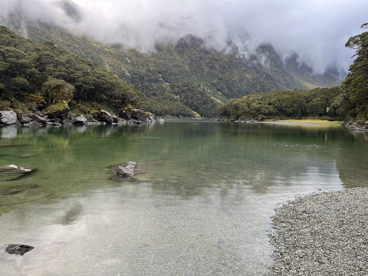
Lake Mackenzie was the typical DOC layout. It's location is stunning in it's own way, at the bottom of a valley. It sits next to an absolute beautiful lake, that is absolutely freezing cold.
This hut had the more traditional Dormitary design. Also split into two seperate rooms where the bunks were long benches. Four sleeping mats to each bench, and another above.
The main rooms were different betwene the huts too, Routeburn Falls was bright with plenty of small tables and seating. Lake Mackenzie was dark even with the lights on, with fewer but larger tables.